


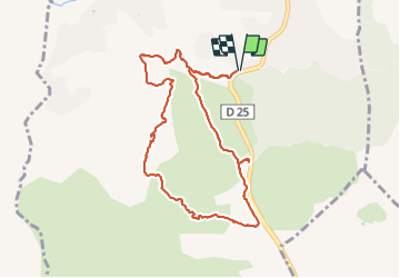

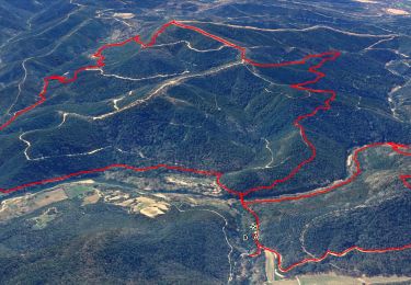
15.4 km | 22 km-effort


... Le plaisir d'être bien ensemble


FREE GPS app for hiking
 SityTrail
IGN / Geographical institutes
SityTrail World
The world is yours!
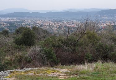
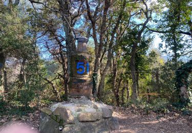
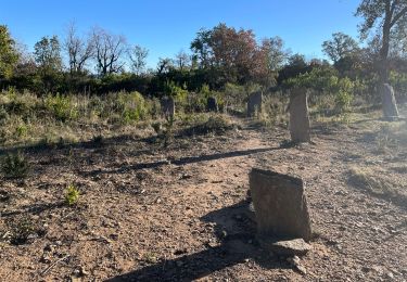
Trail Walking of 9.8 km to be discovered at Provence-Alpes-Côte d'Azur, Var, Le Muy. This trail is proposed by Rando-FCL-Puget.
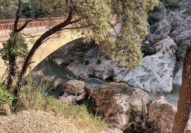
Quelques gués dont un peut poser problèmes.
coordonnées GPS du parking:
43.432188,6.567731


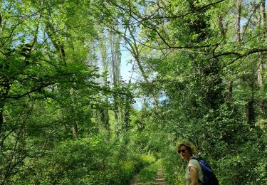
Walking

Walking

Walking
Walking

Walking
Walking
Walking
Walking
Walking